After tackling Pen Llithrig on a less-than-successful day yesterday, it was now Easter Sunday. Knowing the traffic would be bad on Monday, I wanted to get in a quick morning walk before heading back to Cambridge in the afternoon, ahead of most of the cars.
Cadair Berwyn (GW/NW-012, worth 8 points) fitted the bill perfectly. It’s not technically in Snowdonia but it is located in north-eastern Wales, not far from the English border at Oswestry. It was about 40 minutes’ drive from my campsite, so I’d get some of the journey home done early too.
The starting point for this walk is at the Pistyll Rhaeadr waterfall, which is a well-known tourist spot in its own right. The only road to the waterfall is a single-track road with passing places from the village of Llanrhaeadr-ym-Mochnant. There is a large car park (£4 for the day) at the end of the road at SJ074295 but, not knowing this, I parked in the layby at SJ076293.
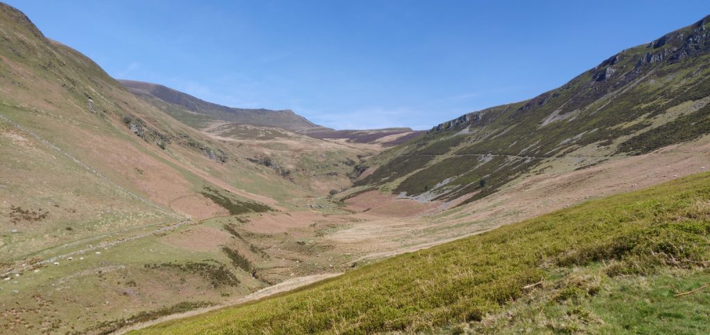
Once you have parked, you need to walk back down the road to pick up the path at SJ079290 – failure to do this will result in you being on the wrong side of the valley; a mistake I almost made! The path is stony and wide, only rising gently to the lake at Llyn Lluncaws. Just before the lake you need to cross the stream twice. The stream itself is narrow and easy to step over, but the surrounding area is a bit boggy. I can only imagine it is worse in wetter weather.

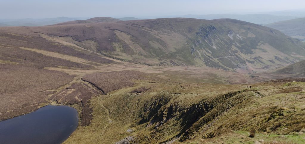
Once at the lake, the path runs on some slightly boggy terrain along the southern edge and then heads steeply uphill along the side of the escarpment. The path is generally fine but it does get a little close to the edge at a couple points around 700m ASL, so you need to watch your footing. Once you have reached the top, there’s a short walk along the grassy top of the hill to get into the Activation Zone.

Cadair Berwyn has two summits. The northerly one has the trig point and was previously thought to be the highest point. At 827m ASL, however, it is beaten by 3m by the southern summit.
There’s plenty of room here to set up but I was able to do a quick activation on 2m from my handheld only, which enabled me to get back to the car for the drive home. The ascent took me 1 hour 55 minutes and the descent took 90 minutes. This was a very pleasant summit to activate and I’ll certainly be back, especially as it’s only 3.5 hours’ drive from Cambridge.
The only problem was on returning to my car to find that the single-track road from the village had become full of cars, including cars parked in the passing places and along the side of the road. This made actually driving the first mile a very slow experience with lots of very careful passing needed. For this reason, I wouldn’t recommend doing it on a hot bank holiday weekend!
Total climbing: 890 m
Total time: 03:52:05


Pingback: Snowdonia SOTAs 2019: Pen Llithrig y Wrach (and a failed attempt of Carnedd Llewelyn) | Dom Smith